Old Canvey Maps
Canvey Village

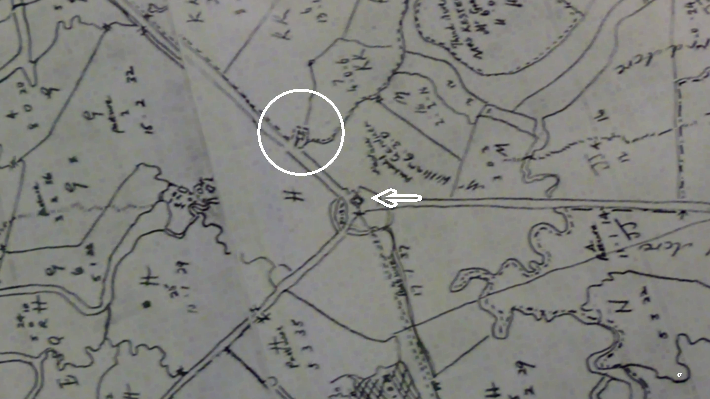
From a map showing ownership and acreage dated 1793 and drawn by James Asser Land Surveyor
The circle shows the church in its position before it was moved in the late 1800s and the arrow shows the position of what the Red Cow???

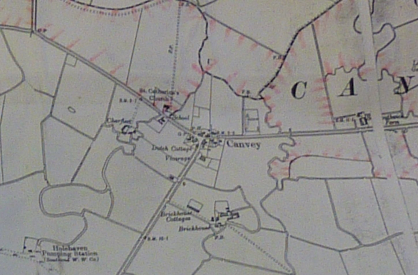
Canvey Village 1867, printed after 1880, shows old parish boundaries. St Catherine's is marked as is Charfleets Farm but what was Hillhouse to the right along Long Rd? Is that why Canvey Village was called the Hills?

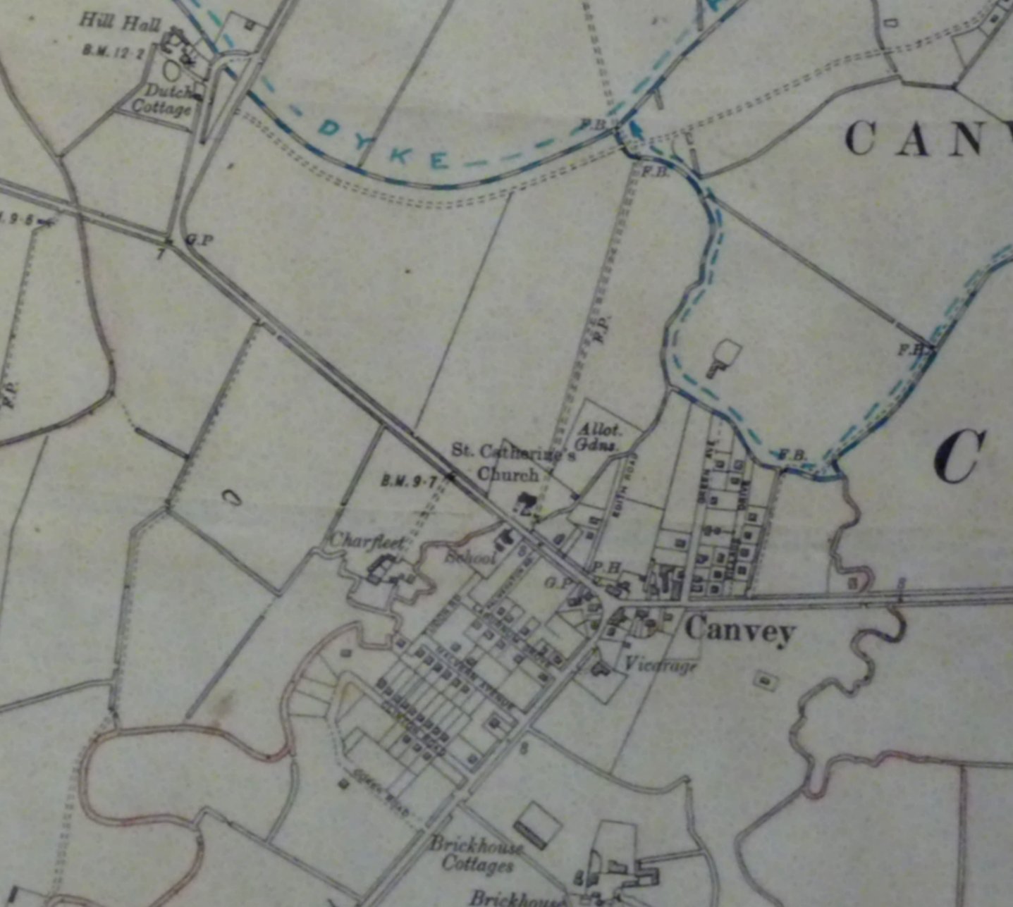
O/S map dated 1923

1932 revision OS Map showing the village School, Vicarage, St Catherine's Church, Charfleet and Brickhouse Farms. Plus in the far top left corner the Dutch Cottage
Michael and Lynn Swanson

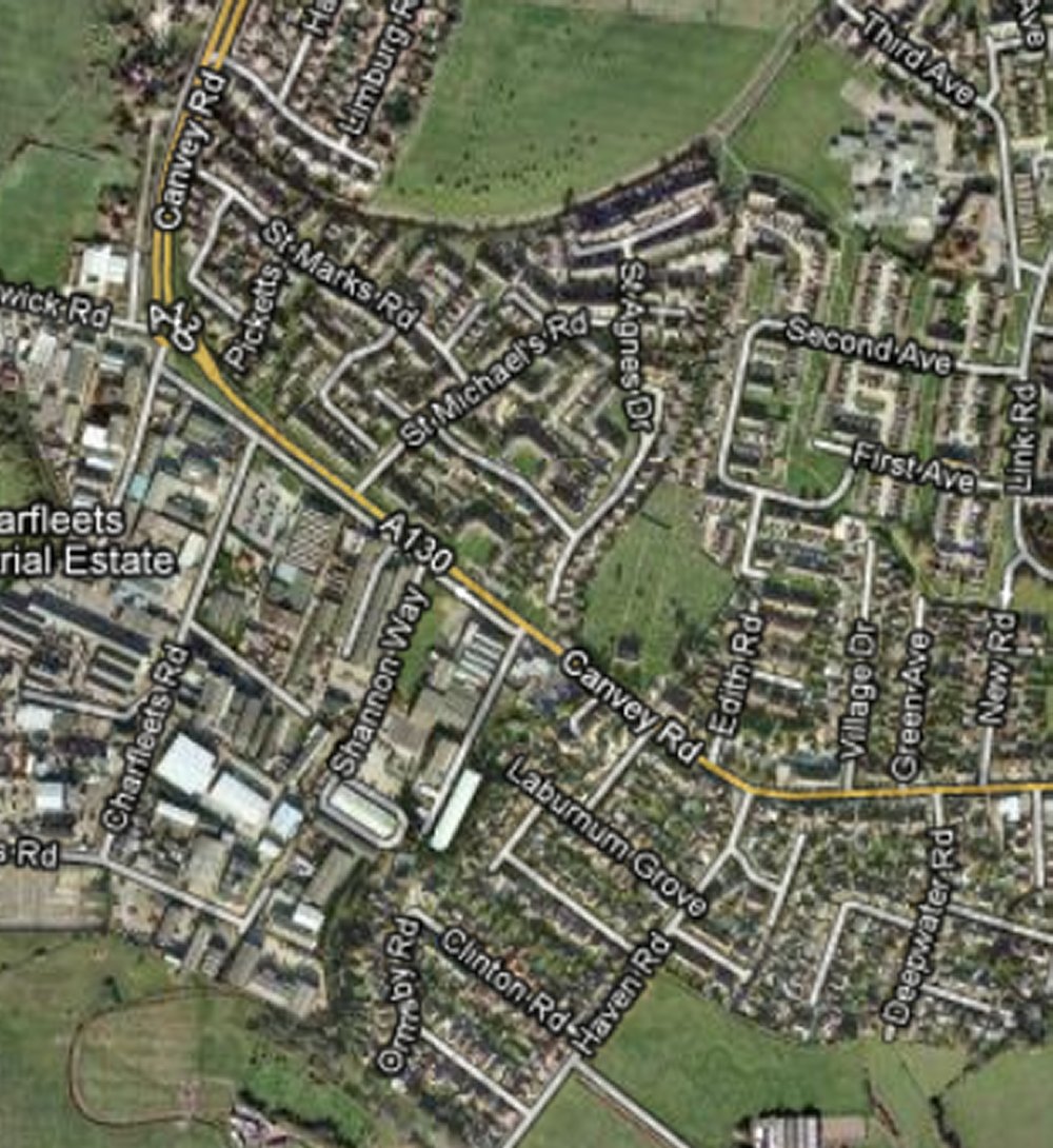
Same area today
Google


No Comments
Add a comment about this page