Canvey 1973
Sent in by Ralph Burtonshaw
Ralph said:-
“ In 1973 my sister-in-law Pat, at Furtherwick Park School, had to do a school project on the Flood as it was 20 years on.
She obtained pictures from various sources of the flood but to bring it up to date she asked me to take some pictures for her showing the Island “as it is now”.
40 years on these pictures are of more interest than they were at the time.”
“By the way, the pictures of Somnes Avenue were taken before it was open to the public. I was a telephone engineer in those days and one of the pics is taken from the top of a pole. Mt GPO van can be seen in one pic.”
Would you please help me by identifying where these were taken. Please comment below or below the individual pictures in the gallery at the bottom.
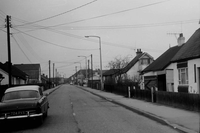
Which Road?
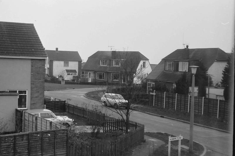
Kenmore Close
Where
Same place as above


Comments about this page
Around the area of the Petrol Garage
Looks like it is next to the old Castle View site.
Definitely along Sommnes Ave by (the old) Castle View School
I think the top photograph with Which Road? written under it could be Seaview Road looking towards the Admiral Jellicoe.
Yeah, top photo is Seaview Road, looking north towards the Jelico, the bottom 2 might be at smallgains.
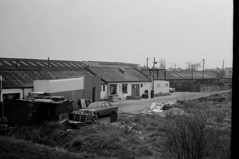
Definitely Seaview Road. The building below are by Canvey Supply at the Point
Yes Dave, The top picture is indeed Seaview Road. It looks much earlier than 1973 as when I moved into 39 Seaview Road – opposite George Knight’s Seaview Stores – in 1974, there were detached houses on the corner of Dovercliff Road just before the Commodore cafe opposite the Jellicoe. Plus the car’s quite old (Ford Consul?) And yes the bottom two are at the Point. Canvey Supply’s yard is one and reflects a time when security wasn’t quite the concern it is these days. The other is very dear to me as it’s Merlin Colour Printers. This is before the office was built at the front (where the caravan is) and well before the ramp was added up to the sea wall by the yacht builders next door. Steve 230313
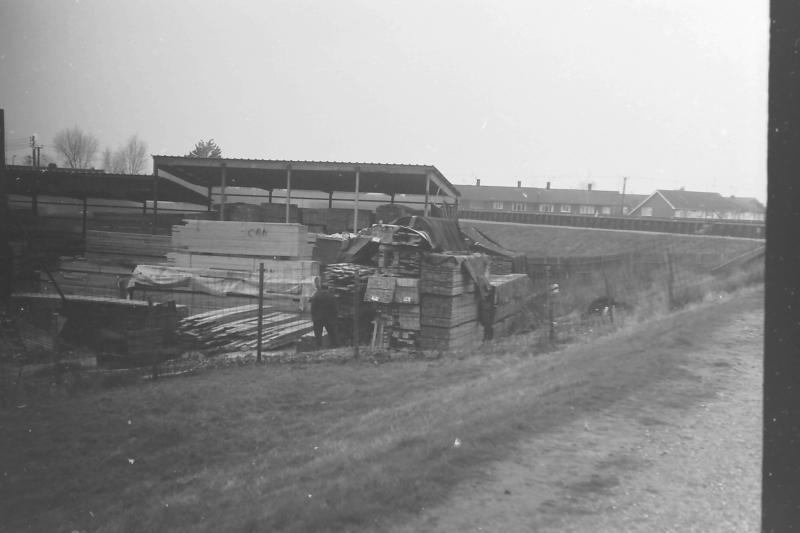
This section of seawall is in the Newlands area, and runs along what is now Kings Park
The section of the sea wall with the block’s is now the north face of what is now Canvey Heights. The rest now has steps at the intersection and runs along Kings Park.
This is the Methane Terminal with the tanks in their original colour Green. They were later painted white with vertical stripes. The buildings in the foreground are the old contractors huts.
Yes, Small Gains Creek
This is now the castle View estate. Picture taken from Somnes Avenue facing north.
Yes it’s Castle View. The pumping was installed by a Dutch engineer who was staying at the Admiral Jellicoe. We called him Tommy as we couldn’t manage his real name. He gave me a tour of the station and explained how the pumps worked.
Lobster Smack corner facing north.
Sorry I’m a bit late but I didn’t know that these had been published on the site. Yes it’s Seaview Road but still 1973. The car was my Ford Consul (1959) but we didn’t all have new cars in those days. Second one is, in fact, South Parade, picture taken from Kenmore Close. Next 2 are Canvey Supply and Merlins of course. Lat but one is the sea wall at Lobster Smack. The pictures of the sea wall were taken to show how the “new” sea wall was constructed after the flood.
Add a comment about this page