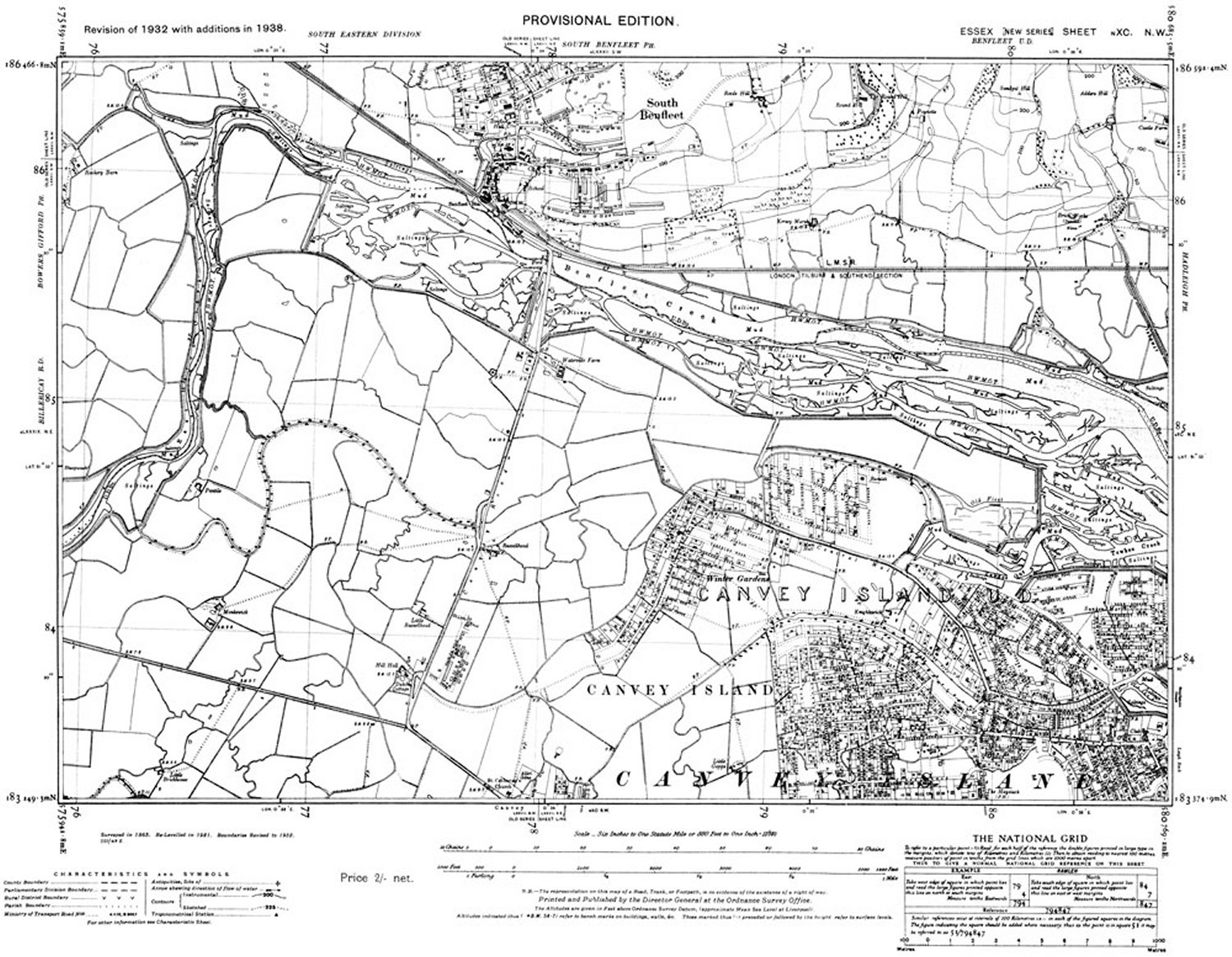
1938 OS MapNW Canvey zoomAuthor By Janet PennPage added 18/11/2013 No CommentsStart the ball rolling by posting a comment on this page! Add a comment about this pageYour email address will not be published. Required fields are marked *Your comment:Name * Email * I consent to my name and e-mail address being stored along with this comment, and to the website editors communicating with me by e-mail about the comment if necessary. My name may be published alongside the comment on the website, but my e-mail address will not be published. My information will not be shared with any third party (see our Privacy Statement - opens in a new window). * Δ 20th Century Maps1909 OS Map1923 OS map Wintergardens area1932 OS Map1938 OS Map1953 Flood MapA.M. Clark Estate's Working MapBarnett's Street MapCanvey Farms Survey Map 1940-41Canvey Island MapCanvey Map 1898 Edited 1923Canvey Map 1932Canvey Map dated 1923Canvey map dated 1932Canvey Map Dated 1932H Redman Estate Agents MapHester's Working MapMap dated 'Edited 1923'Map of CanveyMap of Canvey dated 1943Map of Southend and District Dated 1942New map 1940s?Ordnance Survey MapPre 1953 Canvey map Share thisFacebookPinterestTwitterLinkedin


No Comments
Add a comment about this page