From the B17 field north and from the seaward side
More survey photos from 1978
These photos are shown on the map below as nos 1008-1015. Mostly taken from the seaward side of the wall at the point plus a couple from the area where the B17 field is now located.

1015-B17 field looking north
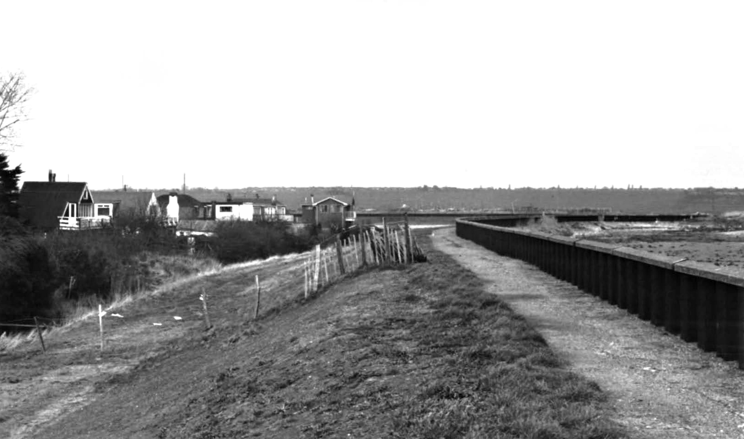
1014-Looking North along crest.
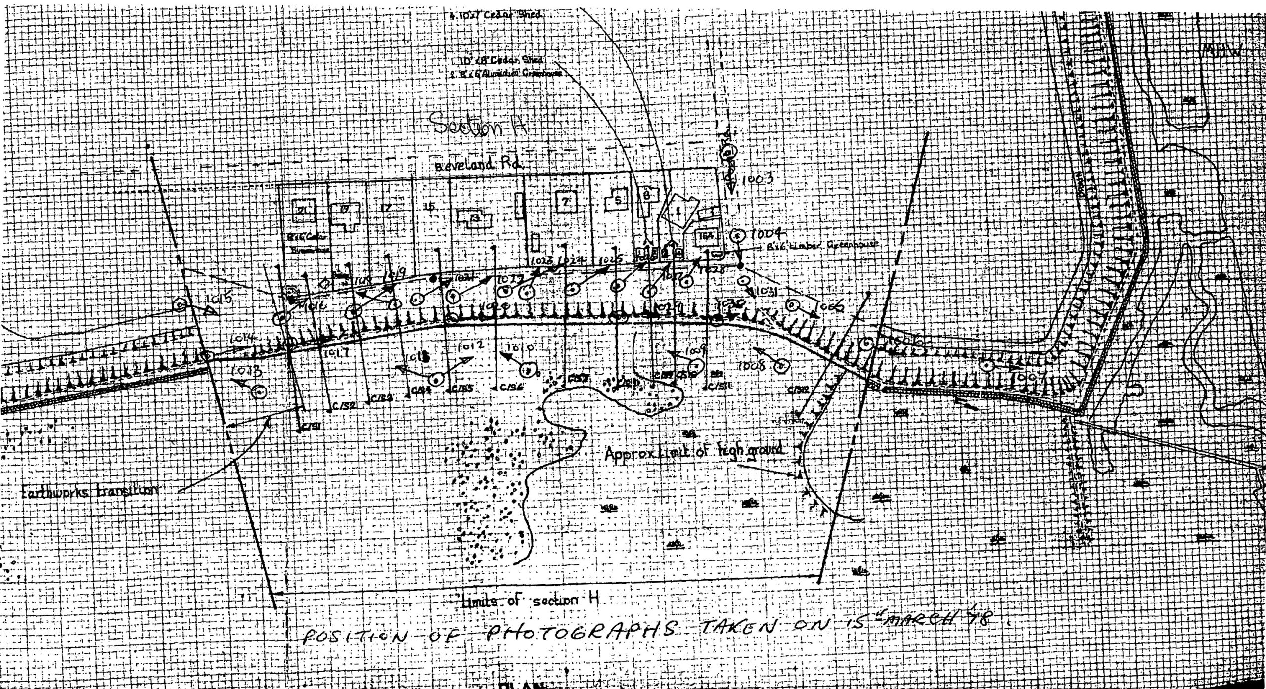
map showing details where photos were taken in the Beveland Road area in 1978
Contains public sector information licensed under the Open Government Licence v3.0.


No Comments
Add a comment about this page