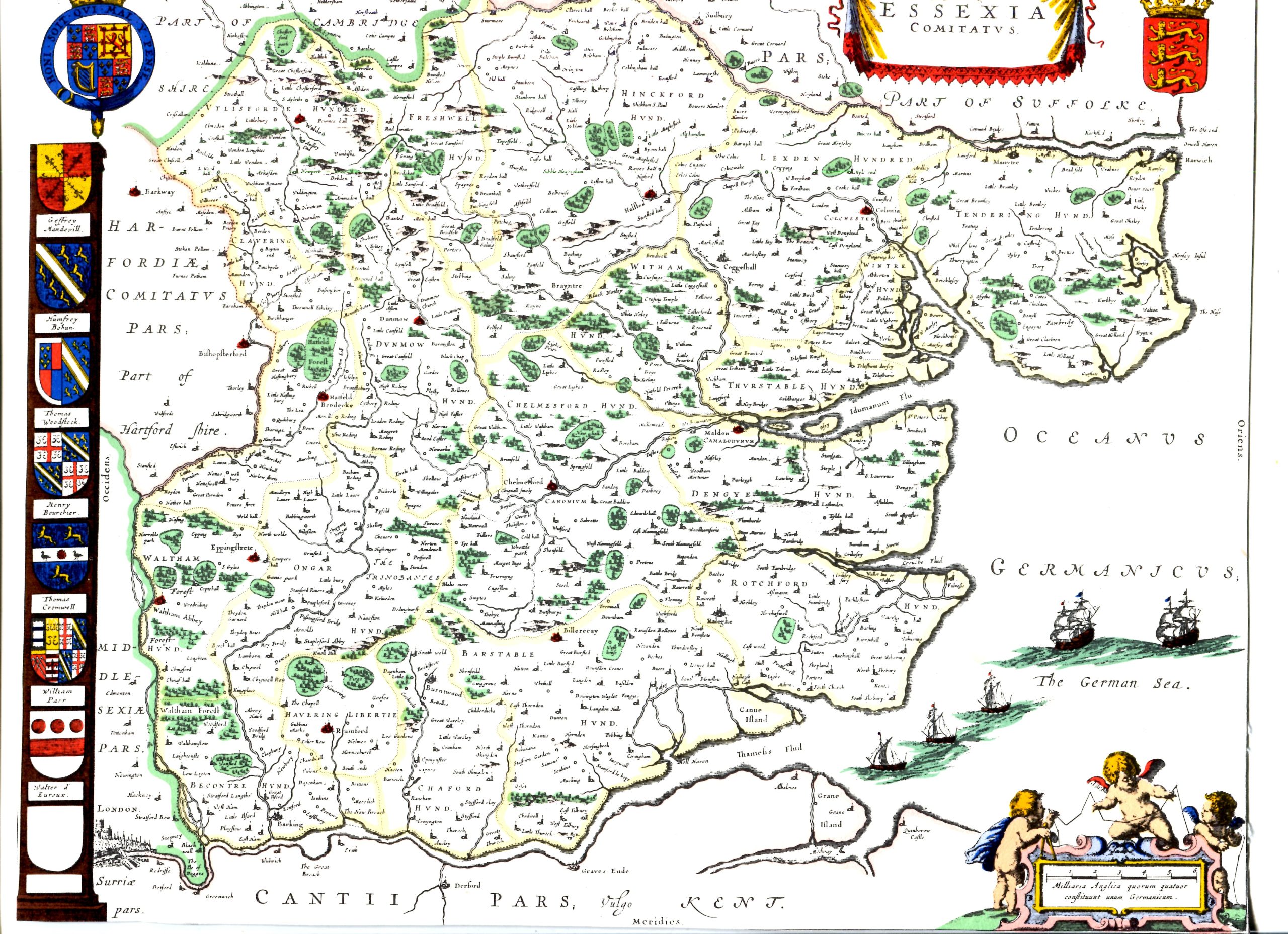
Johannes Blaeu Map Essex 1645Canvey can be seen towards the bottom when it was made up of islands.This map is part of the papers passed to us from the late David Evans thanks to Ed Simpson.Page added 15/01/2024 No CommentsStart the ball rolling by posting a comment on this page! Add a comment about this pageYour email address will not be published. Required fields are marked *Your comment:Name * Email * I consent to my name and e-mail address being stored along with this comment, and to the website editors communicating with me by e-mail about the comment if necessary. My name may be published alongside the comment on the website, but my e-mail address will not be published. My information will not be shared with any third party (see our Privacy Statement - opens in a new window). * Δ 17th Century MapsEast Coast and Thames from London to the NoreEssex Map 1676Johannes Blaeu Map Essex 1645Map of Canvey Island 1648Symonson's Map of Kent c1650 Share thisFacebookPinterestTwitterLinkedin
 Canvey can be seen towards the bottom when it was made up of islands.


No Comments
Add a comment about this page